GEOALTEVA · GEOSPATIAL INTELLIGENCE + DATA SCIENCE

FIELD INTELLIGENCE
FOR AGRICULTURE
STARTS
FROM SPACE

We connect satellite, climate, water, soil, crops and evidence to monitor more territory, prioritize where to investigate, and better understand every field.
⌁
Controlled criteriaExplicit scope and limits
◎
Geospatial contextSpatial + agricultural context
◷
Contextual updatingBased on available context
◇
Governed designExplicit limits
Illustration of agricultural fields with defined furrows and mountains in the backgroundFROM TERRITORY TO EVIDENCE
VISUAL DEMO · ILLUSTRATIVE DATA

Demo Field

Maize · 128 ha · Illustrative context

● Stable observation signal
VEGETATION INDEX · DEMO
0.76
Illustrative trend
AprMayJun
Complete field with simulated NDVI zones; it does not represent real measurements
AOIFIELD-001
0.00.51.0
EXPLAINABLE OUTPUT · EXAMPLE

The interface shows context, evidence, limitations, and signals that require investigation.

View criteria →
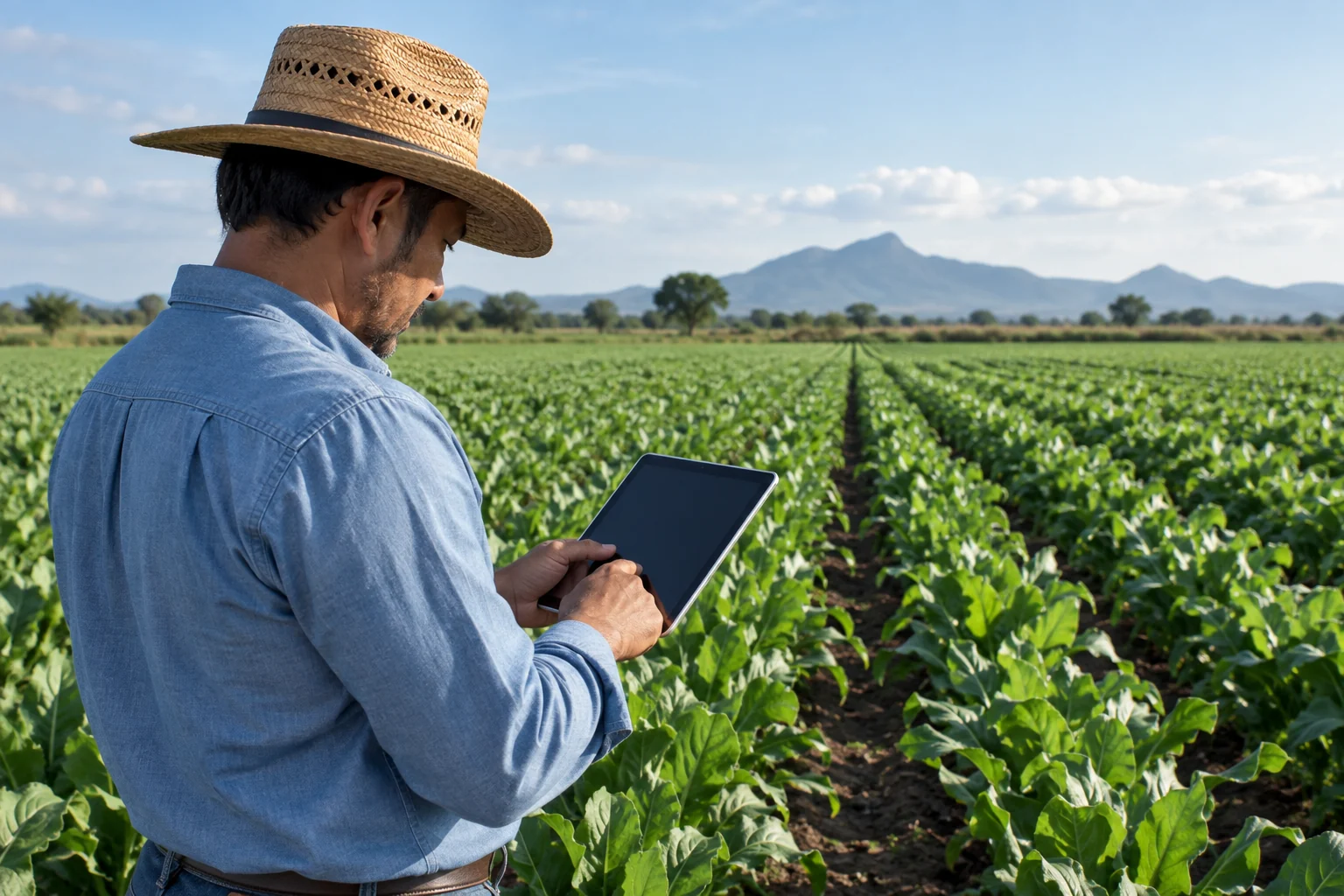
Illustrative scene of a professional reviewing a tablet in the field
ADVISORY

PROFESSIONAL

Agronomists and advisors who need to monitor more fields and prioritize field visits more effectively.

View solutions →
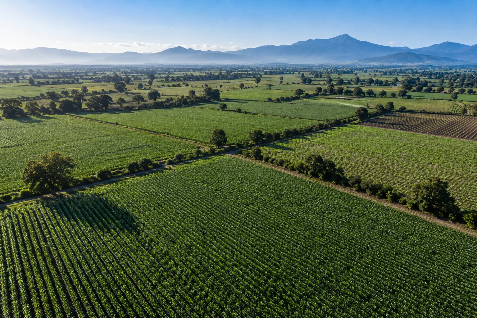
Illustrative aerial view of a portfolio of agricultural fields
AGRICULTURAL PORTFOLIO

AGRIBUSINESS

Supplier and field networks converted into an observable, explainable agricultural portfolio.

View solutions →
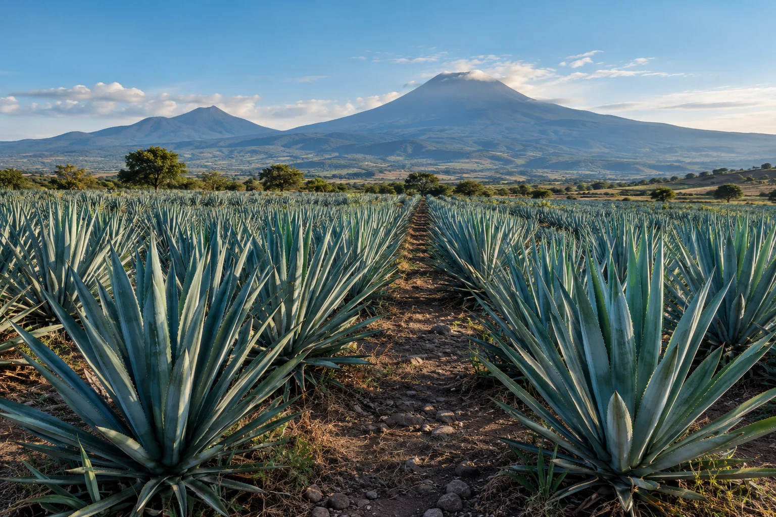
Illustrative scene of an agave plantation
SOURCING

DISTILLERY

Agricultural context for sourcing territories and raw materials.

View solutions →
Illustrative agricultural landscape for territorial observation
TERRITORY

GOVERNMENT

Explainable territorial intelligence for agricultural regions and programs.

View solutions →

Never invent knowledge.
Measure it, understand it, explain it.

GeoAlteva applies internal controls to keep conclusions within their valid scope. If the available context does not support a conclusion, GeoAlteva must say so.

REAL DATA→CONTEXT→EVIDENCE→EXPLAINABLE DECISION
CONTROLLEDResults subject to explicit scope and limits
GOVERNEDKnowledge activated only where it applies
EXPLICITUnknowns are reported too
Diagram: satellite, climate and soil provide context to the territory and its evidence

GLOBAL INTELLIGENCE, LOCAL ACTIONS

  • Designed for different countries and regions
  • Optical satellite and geospatial context
  • Multiscale agricultural and territorial context
  • Specific knowledge only where governed evidence exists
INTEGRATION / API
GeoAlteva está diseñada para integrarse con flujos empresariales y productos de datos.Los detalles técnicos, científicos y de implementación permanecen reservados durante esta etapa de protección de propiedad intelectual.
Discuss integration

Turn real territory into a measurable proof of value.

Start with one crop, one geography, one portfolio, and one defined business question. The pilot should prove value before scaling.

1Defined territory2Specific question3Measurable result
CONTACT Canal en preparación.

We will respond to the contact request using the information provided.

TRANSPARENCY

Agricultural scenes are AI-generated illustrations. Dashboard data and the NDVI map are simulated to demonstrate the product experience. They do not constitute agronomic advice, yield prediction, a fertilization or irrigation prescription, or regulatory certification.